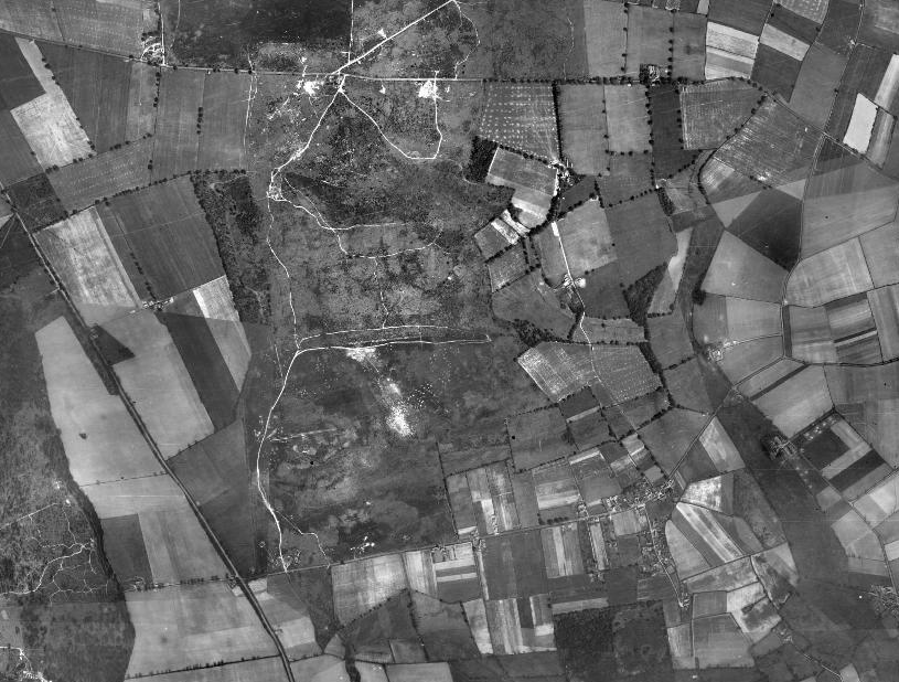
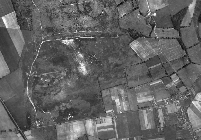
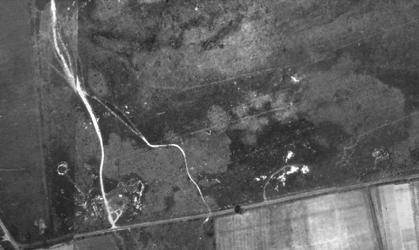
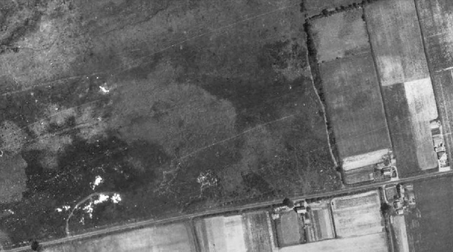
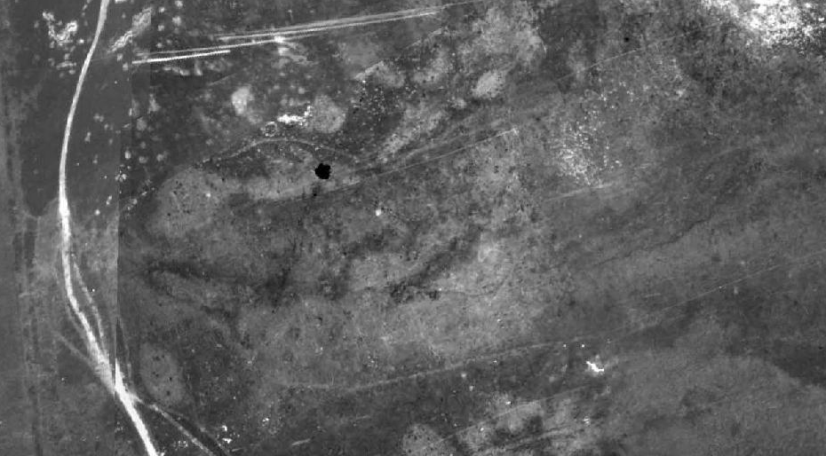
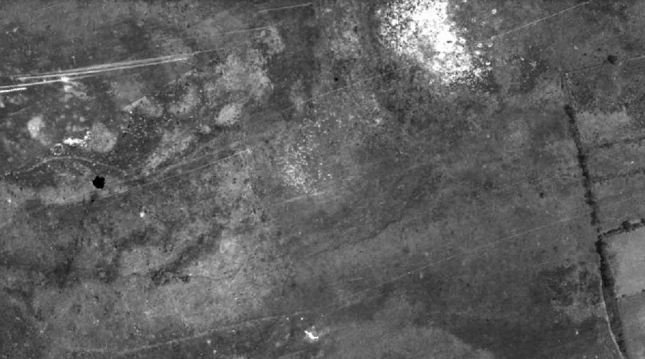
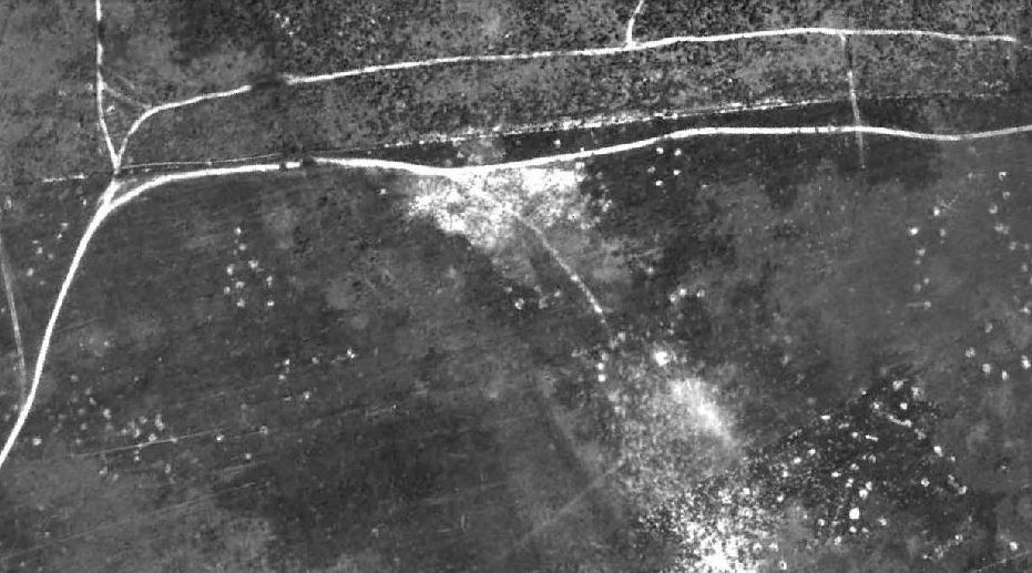
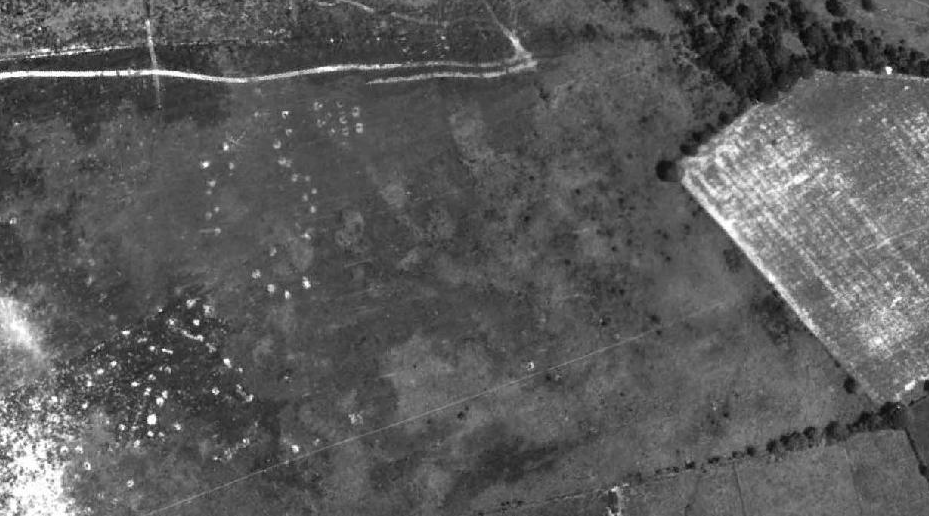
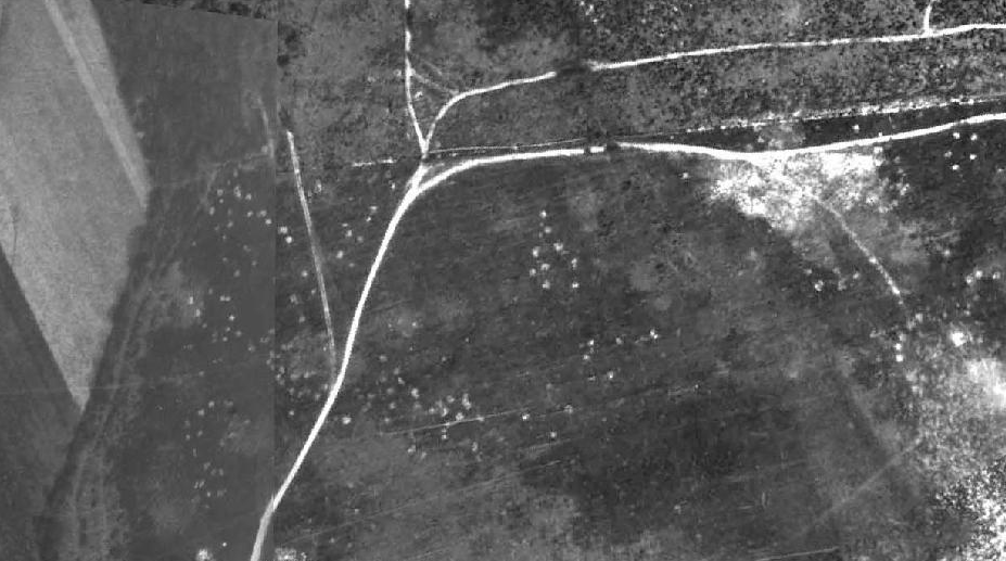
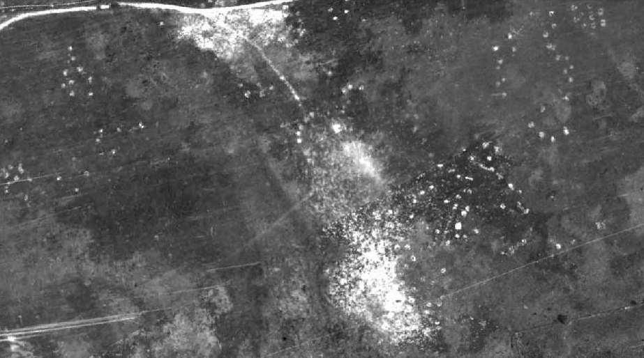
Aerial Survey 1946
Photographs currently held at the Rural Life Museum, Gressenhall, Norfolk (Norfolk County Council)
I assume that all the light patches in the photos are the bomb craters caused by the Army whilst staging weapons training exercises at the site during the time of World War 2. The explosions would have revealed the white, glacial sands that were hidden beneath the leaf litter and soil. I wonder if anyone has any ground-level photographs that were taken during this time?
During the history of Buxton Heath Wildlife Group, unexploded mortar bombs and fragments of casings have been discovered several times during our work, and on two occasions, we needed to summon the Bomb Disposal Teams to safely perform detonations !